
Seven mountain ranges
We're Yasno Games, and we're making an MMO on a hex grid: an open world you cross on foot, generated from a seed. The mountains in that picture are our seventh go at a mountain range. The first six are gone, but git keeps everything, so we went back through it to show you what they looked like.
There are two kinds of picture here. The top-down maps are drawn from each version's own height code: 20 km of its world, all in the same light, one colour for one height across all of them. Everything else is the game itself, this month's build unless the text says otherwise.
Noise, twice
The first ranges, in March 2024, were Perlin noise: a height for every tile, read off a smooth random field. Noise makes hills. It never makes a range, because a range has a direction, and noise has none.
In October 2025 the noise got regions, and mountain regions got cliffs stepped in strata.
That is the second one in the game in February 2026, the week before it went: every tile a hexagonal column, so a hill is a staircase of them.
Plates, then nothing
In February we started from tectonics. The world split into plates, each with its own base height, their edges warped so they curve, and a ridge raised where two plates push together.
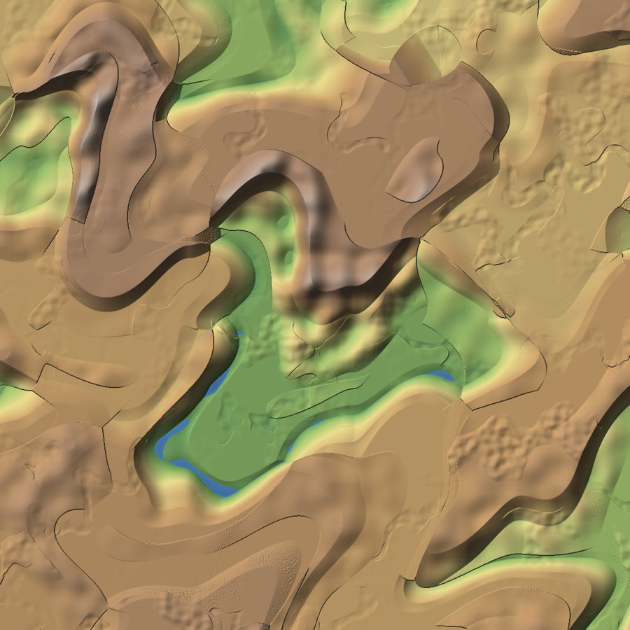
What you get is terraces where one plate's height meets the next, and one ridge. Two days later we took the heights out and started modelling what lies under the crust: denser and lighter provinces, hotspots, heat spreading from them. Those were fields, and none of them was a height yet. For those weeks the world in the game was flat.
Placing the mountains
In March we stopped deriving mountains and placed them. A continent grew a spine of peak cones joined by ridgelines, and streams grew down from the ridges, carving ravines as they merged. Over the summer an erosion stack went on top: glacial cirques bitten into the shaded side of the high peaks, and slopes shaped convex at the crest and concave at the foot.
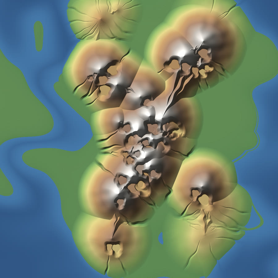
These are the tallest of the maps, up to 2.8 km, and they had a feel in the game we liked.
That is the view from the top of one, in the August build we rebuilt to film it: the cone falling away to the coast on every side.
From above you can see the problem. Each cone is a circle stamped on the plain, and where two cones meet there is a straight seam. A placed mountain does not know why it is there, so nothing around it agrees with it.
Letting them emerge
In September the plates came back as the source. Crust thickens where two plates push together, and the height follows from the thickness. The spine, the cirques and the slope shaping came out: about ten thousand lines of code, deleted in one commit.
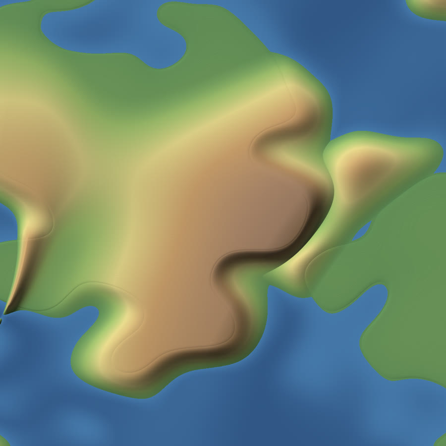
Thickness gives you a swell. It gives you no ridges, and no valleys inside it.
Sheets
Two days later we rewrote the plates themselves, and that is the seventh range. Where one plate runs under another the crust stacks into sheets, the way real fold-and-thrust belts are built.
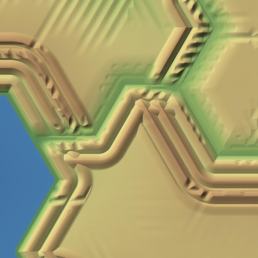
The plates were cells on a lattice, and the ranges followed the lattice: straight runs, 60° corners. The next day every plate edge started being read through a smooth warp, so coasts, fronts and ranges bend together and never at a corner.
Walkable
That version had a problem you could feel. Most of the ground was walkable, and the ridges, the part you came for, were almost all walls. A player climbs one level per tile, and the faces were steeper than that.
We could raise the step or lower the mountains. We lowered the mountains to the angle loose rock actually rests at, 34°, with scree running out about 150 tiles from the foot of each range. That is still too steep to walk straight up, so you climb across the face, the way you would a real scree slope. Ground at 45° or steeper fell from 2.4% of land to 0.75%, and what stayed that steep was mostly gorge walls, which is where you would expect a wall.
For scale: a tile is about 1.7 m across and a level is 0.8 m. The geology is Earth's, squeezed so a range fits in a world you cross on foot.
What didn't work this month
Ravines. We cut a gully down a range's flank every 46 tiles, 17 levels deep. In the game it was corrugated iron: a ridge every 80 metres, walking across it felt like waves, and the far view could not draw it. It came out the same day.
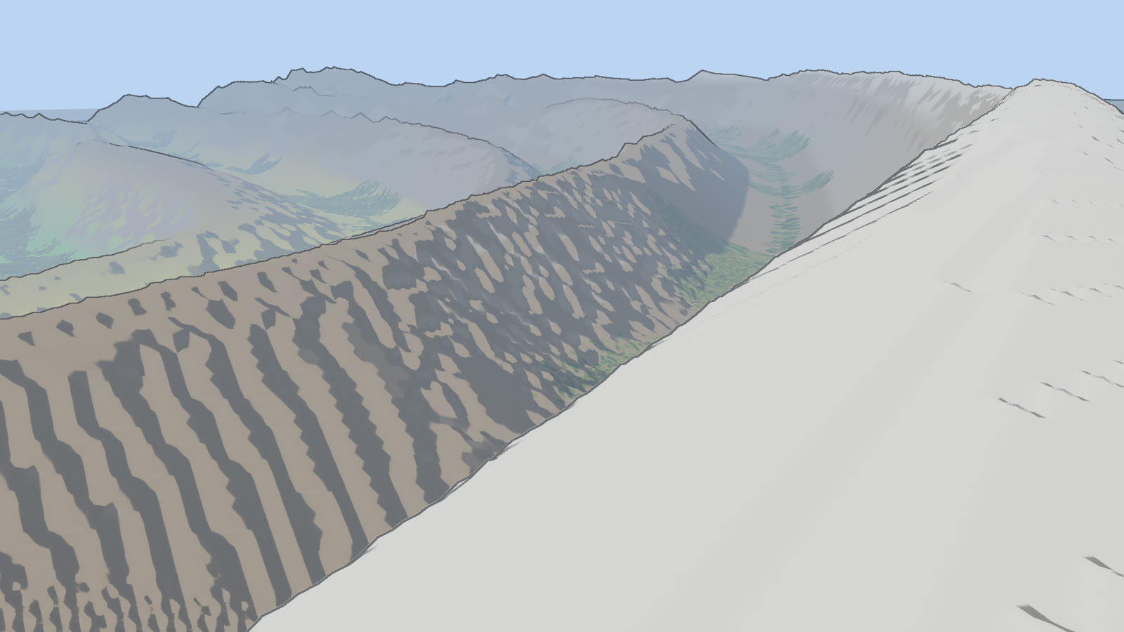
What did stay: a range's crest now rounds off as fast as its height wears down, trees thin out where the slope gets too steep to hold soil, old collisions inside a continent leave worn-down belts instead of nothing, and this month rivers started running along the troughs between ridges and crossing at the passes.
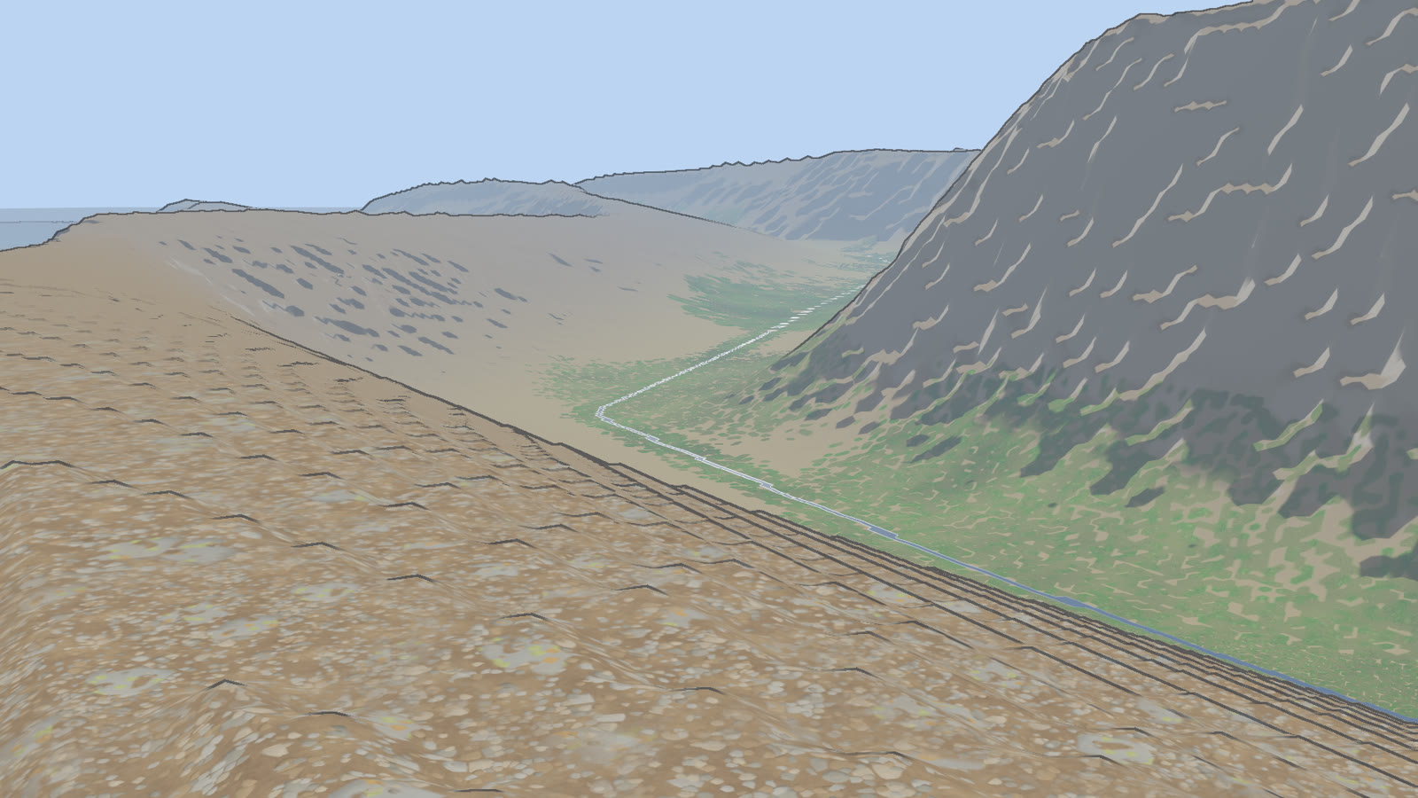
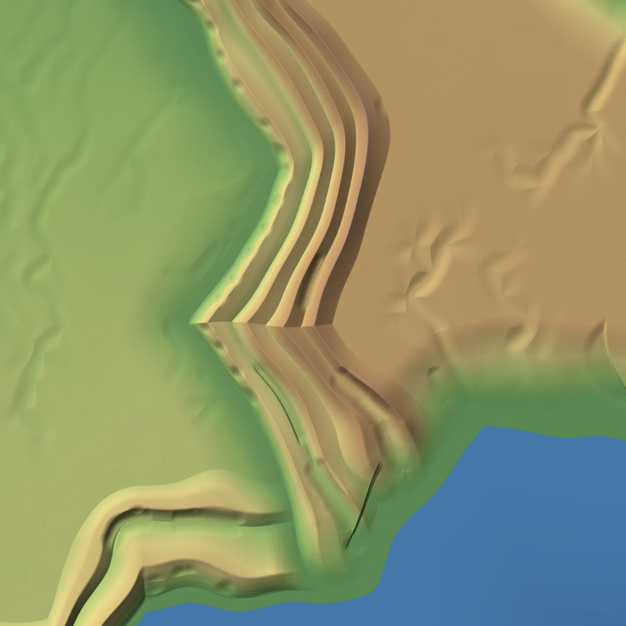
That is the range as it stands this month, its crest about 900 m above the sea.
Where it stands
It isn't done. Lakes have been tried three ways and taken out each time, because they cost more to generate than they showed. The rivers went in this month.
Every range here comes from a generator: seeded code, no trained model, nothing drawn by hand. Claude writes that code with us, and we decide what the mountains should be and throw away what isn't it, six times so far.